About Our Team
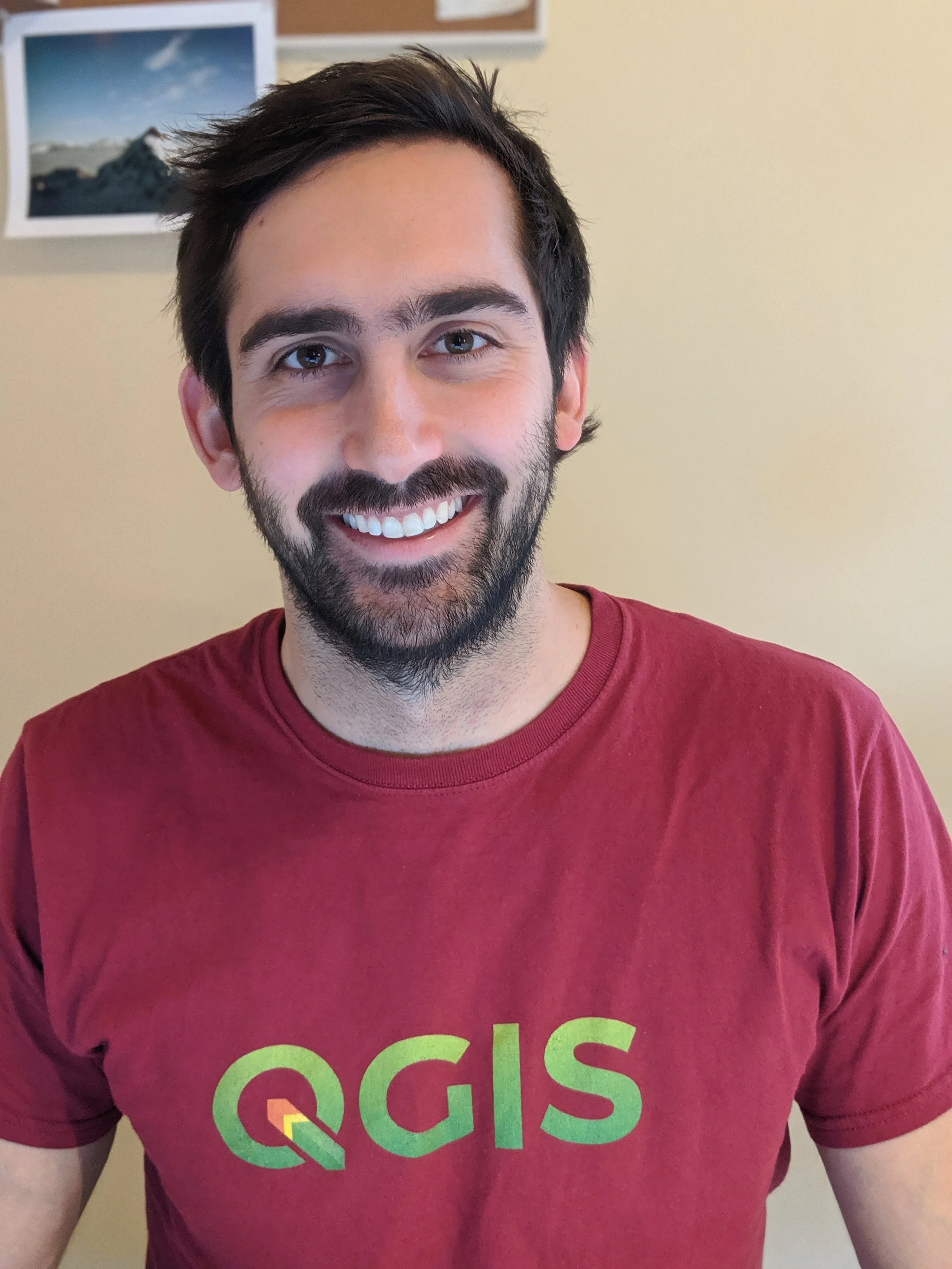
Adam Magnuson
Solving problems spatially has been an interest of mine since I was first introduced to GIS technologies over a decade ago. GIS portrays geospatial data in an artistic way that is able to reach a more diverse audience than other mediums of data portrayal. GIS functions as a catalyst for innovation, allowing more efficient models in environmental science, municipal planning, and countless other applications.
Focus:
vector data
geoprocessing
data management (sql, postgreSQL)
opensource software
cartography
After graduating from Northern Michigan University with a degree in Conservation and GIS, I worked for the US Forest Service, local governments, for profits, and nonprofits conducting fieldwork and mapping ecological restoration projects. In 2017, I went back to school to earn a GIS Certificate from University of Washington at Seattle. My certificate program propelled me into a role with an innovative startup, where I was brought on as a GIS Analyst and left as a Senior GIS Analyst, having managed the GIS Department. As I continue my career in GIS, I look forward to helping you complete your geospatial projects.
Riley Powers
I have always thought in a spatial context so finding my way into the Earth, Environmental, and Geographical Sciences Department at Northern Michigan University opened up opportunities that felt natural to me. The introduction of GIS opened up the ability to portray that spatial thought process in numerous ways. I have always thought using GIS to solve problems or be part of a team to assist in solving complex problems to be fascinating.
Focus:
cartography
raster analysis
data creation & management
spatial analysis
While in school at Northern Michigan University I worked for the City of Marquette Michigan in their Engineering and Planning Departments as a GIS Technician and Planning Aide. During this time I was able to receive real world experience using GIS, assisting with Planning projects, Engineering projects, and emergency response maps and applications. During my summers, I worked supervising GIS projects for city infrastructure and asset management.
After graduating from Northern Michigan University with a degree in Environmental Studies and Sustainability, a Biology Minor, and a GIS Certificate. I shifted my focus to the private sector and worked as a GIS Analyst for a water, stormwater, and wastewater engineering firm where I worked on over 150 projects across the United States and Canada. From there I moved back to the public sector into a role where I manage capital improvement projects for a municipality, and I use GIS to assist in problem solving. I look forward to continuing to utilize GIS to help you complete any geospatial needs.


